Elevate your project documentation with a high-resolution, interactive 3D mesh model of your entire active worksite. By leveraging advanced 3D geospatial imagery, we provide an immersive, data-rich perspective that traditional photography and video simply cannot match.
Why Choose 3D Geospatial Modeling?
The Executive Gold Standard: Deliver clear, unambiguous status and progression updates to project principals, investors, and external stakeholders with industry-leading precision.
Virtual Site Visits: Eliminate the need for travel. “Walk” your entire construction site from your desk using an intuitive interface. Navigate your project with full functionality: Zoom, Orbit, Measure, and Pan.*
Frictionless Sharing: Accessibility is key. We deliver your model via a simple, secure web link. There is no complex software to install and no heavy files to download—view your project anywhere, on any device.
*Disclaimer: Our mapping and modeling utilizes RTK equipped enterprise drones. While highly accurate, interactive measurements are intended for project coordination and progression tracking and are not meant to replace licensed surveying services.
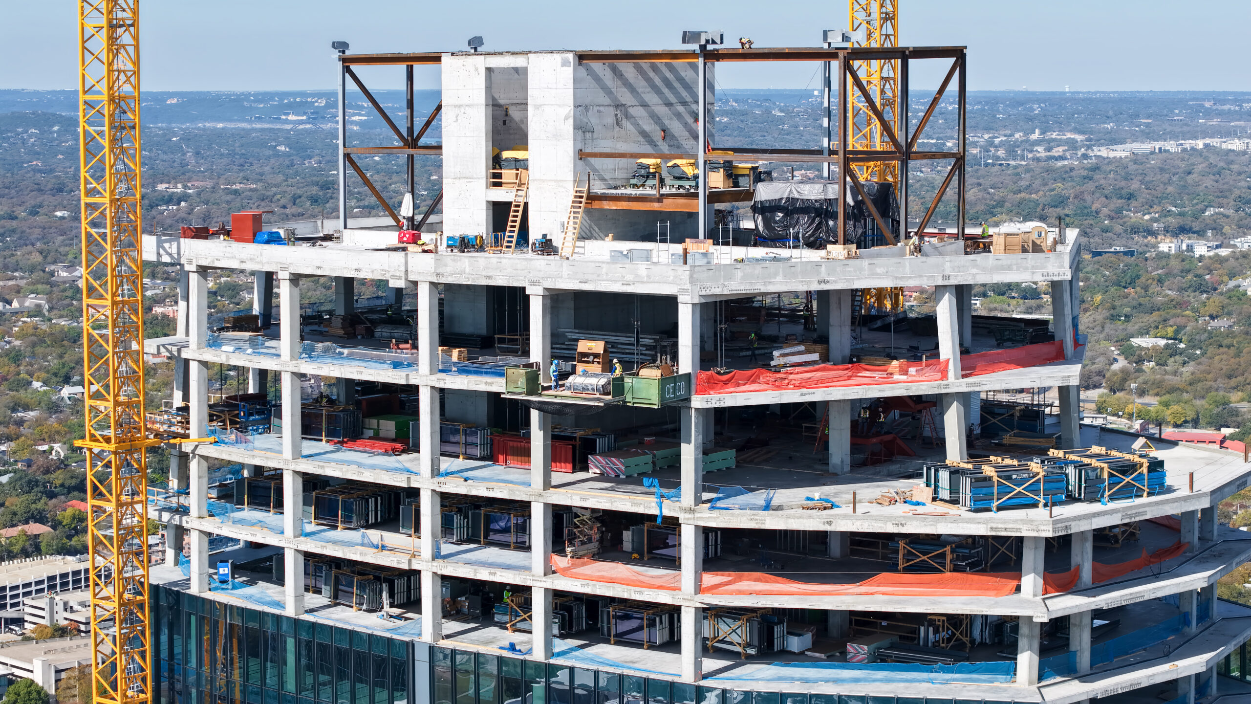
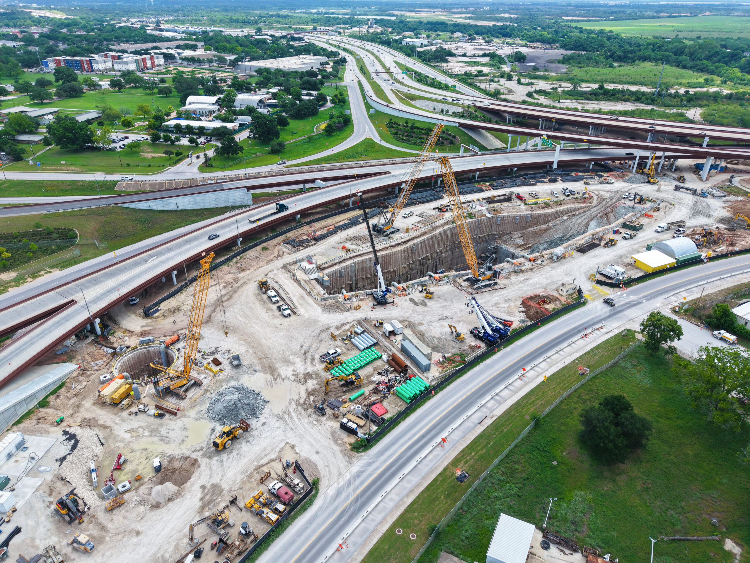
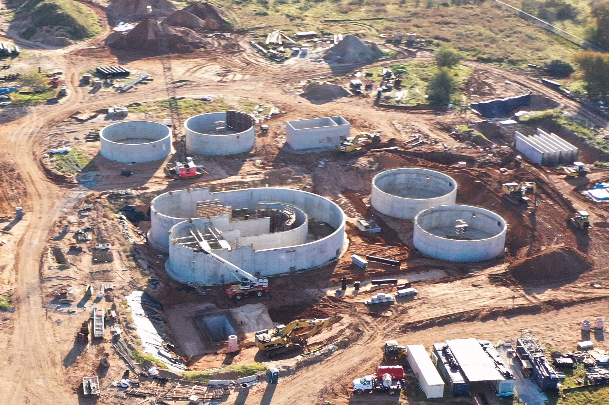
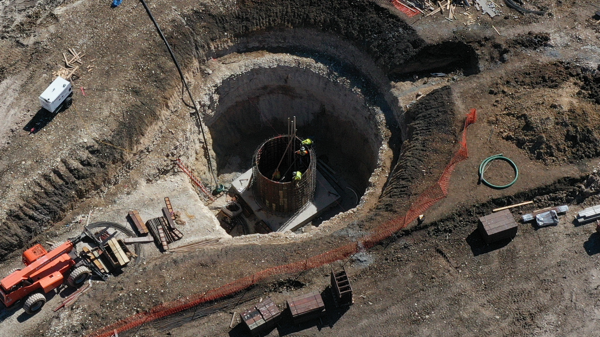
The integration of aerial imagery into construction management workflows provides an indispensable mechanism for reporting project milestones and adherence to established timelines. By utilizing high-resolution aerial cinematography and photogrammetry, we offer a comprehensive visual audit of site development, customizable to weekly, bi-weekly, or monthly intervals.
These aerial datasets provide a critical perspective for Site Project Managers and remote stakeholders, facilitating precise evaluations of work-in-progress (WIP) status against planned benchmarks. Leveraging autonomous flight path planning—including pre-defined waypoints and precision GPS telemetry—we ensure consistent, repeatable data acquisition. This methodology guarantees a standardized visual record across the project lifecycle, delivering high-definition media deliverables that serve as an objective basis for project assessment and stakeholder transparency.
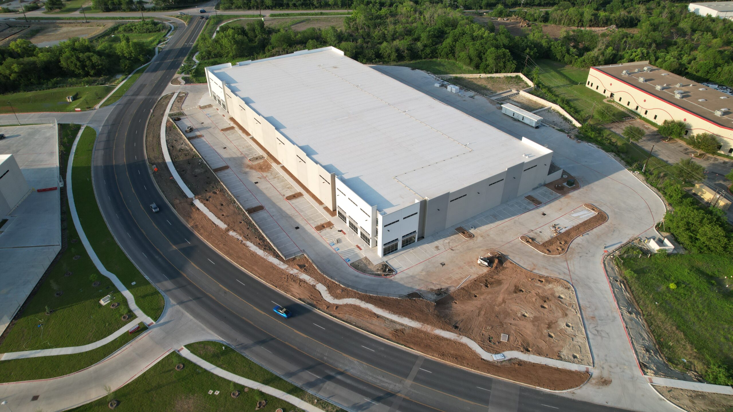
Maximize property visibility and engagement through high-fidelity aerial capture. Integrating professional-grade 4K aerial photography and videography into your marketing strategy provides an immersive, comprehensive perspective that standard ground-level assets cannot achieve, effectively differentiating listings in a competitive marketplace.
Beyond providing aesthetic enhancement, our aerial deliverables serve as a strategic tool for spatial context and value demonstration. We produce precise visual documentation that clearly defines property parcel boundaries, illustrates landscape topography, and provides vital spatial awareness regarding the proximity of surrounding infrastructure, regional amenities, and key commercial anchors. This elevated viewpoint provides prospective buyers and stakeholders with a sophisticated, data-driven understanding of the property’s overall market utility and regional connectivity.
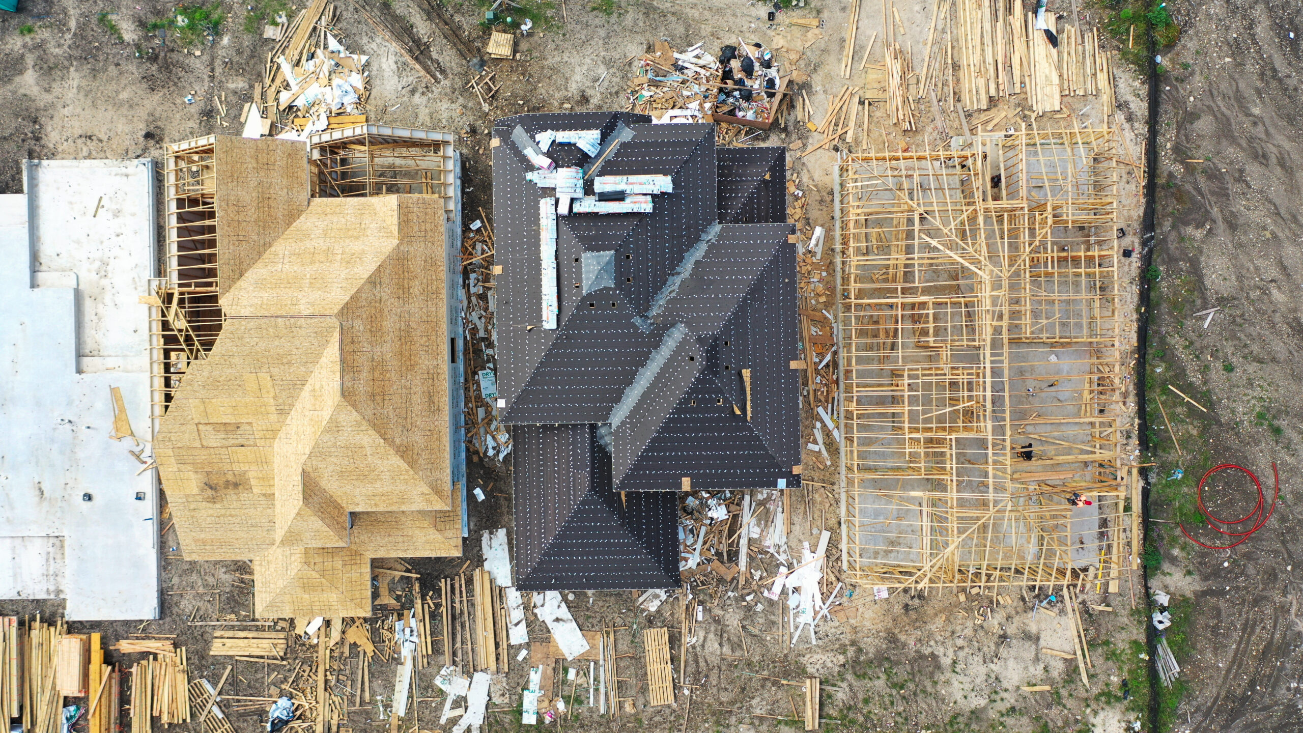
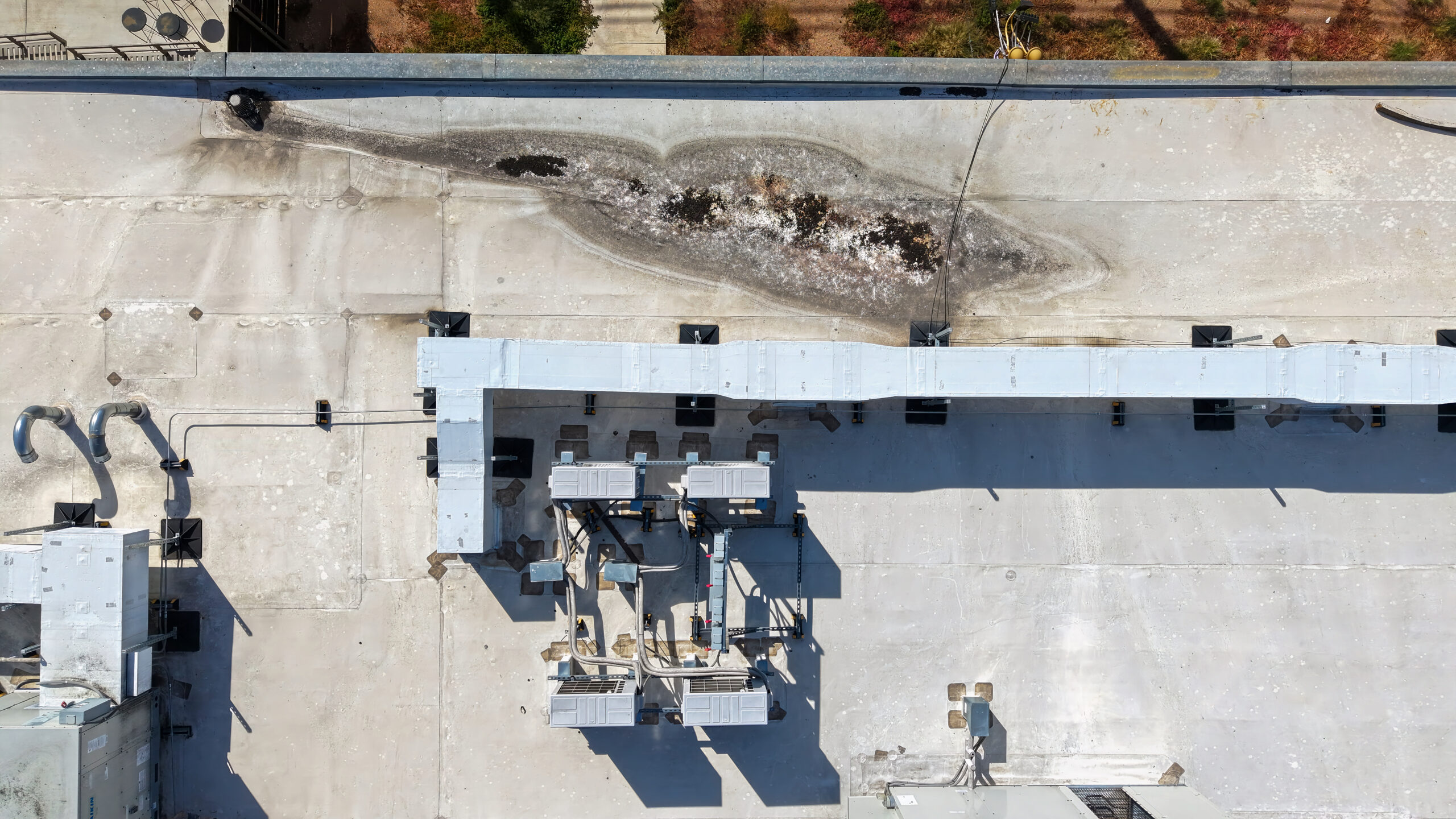
Our aerial acquisition services provide a critical technical enhancement to residential and commercial inspection workflows, significantly increasing operational safety and data fidelity. By deploying drone-based capture, we eliminate the logistical constraints and fall-risk hazards associated with manual access methods such as ladders or scaffolding, while simultaneously streamlining on-site evaluation timelines.
Our operational capability enables the acquisition of high-resolution, georeferenced imagery across the entire building envelope, including roofing systems, elevated facades, and otherwise restricted infrastructure elements. By providing inspectors with high-fidelity, unobstructed visual data, we facilitate more comprehensive diagnostics and objective, non-invasive reporting.
In instances where structural integrity is compromised—whether due to meteorological events or localized site incidents—our aerial inspection services offer a rapid, high-fidelity solution for damage quantification and root-cause analysis. By deploying precision-navigated drone assets, we enable a streamlined assessment workflow that significantly accelerates the discovery-to-repair lifecycle.
We recognize the time-critical nature of post-event stabilization and restoration. Consequently, our operational protocols are optimized for rapid deployment and immediate data processing, ensuring same-day delivery of high-resolution imagery to support informed decision-making and project recovery efforts.