Elevate your project documentation with a high-resolution, interactive 3D mesh model of your entire active worksite. By leveraging advanced 3D geospatial imagery, we provide an immersive, data-rich perspective that traditional photography and video simply cannot match.
Why Choose 3D Geospatial Modeling?
The Executive Gold Standard: Deliver clear, unambiguous status and progression updates to project principals, investors, and external stakeholders with industry-leading precision.
Virtual Site Visits: Eliminate the need for travel. “Walk” your entire construction site from your desk using an intuitive interface. Navigate your project with full functionality: Zoom, Orbit, Measure, and Pan.*
Frictionless Sharing: Accessibility is key. We deliver your model via a simple, secure web link. There is no complex software to install and no heavy files to download—view your project anywhere, on any device.
*Disclaimer: Our mapping and modeling utilizes RTK equipped enterprise drones. While highly accurate, interactive measurements are intended for project coordination and progression tracking and are not meant to replace licensed surveying services.
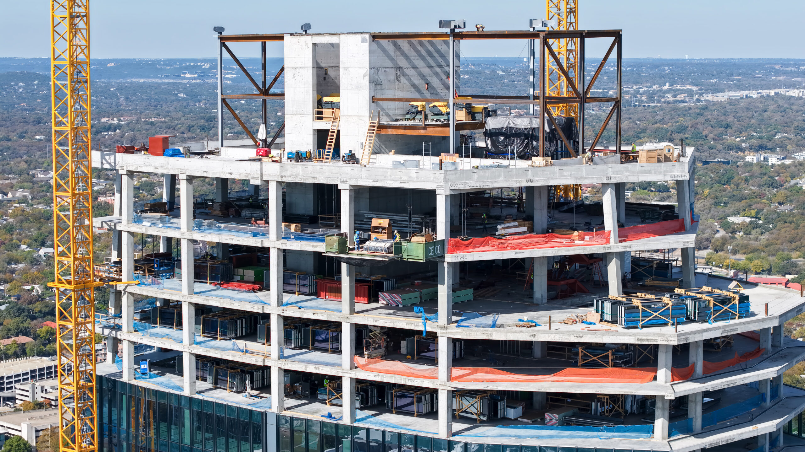
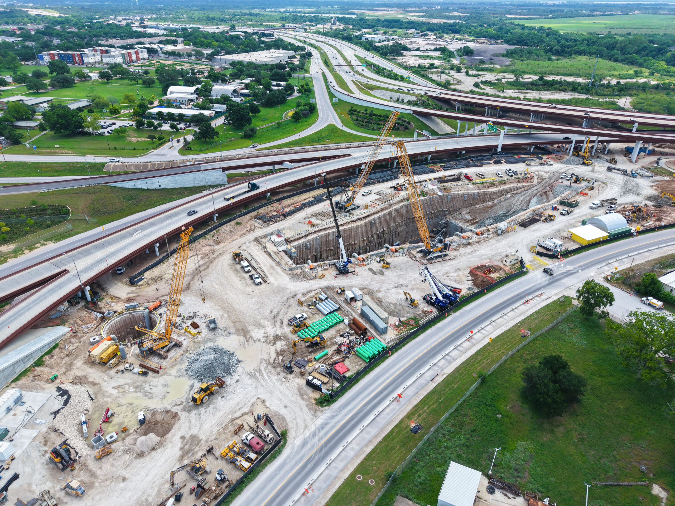
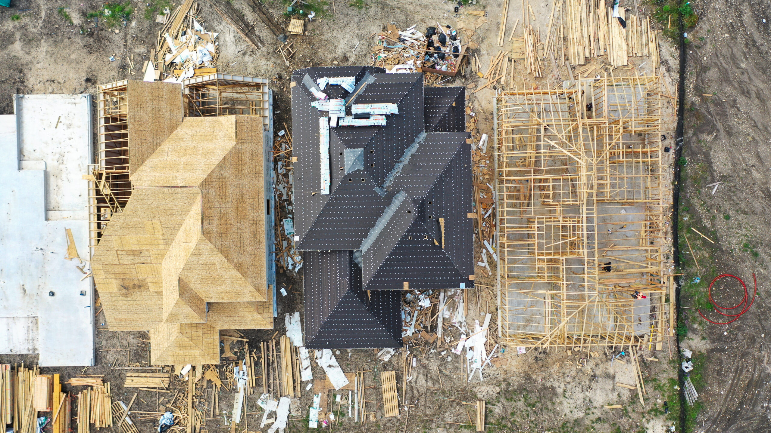
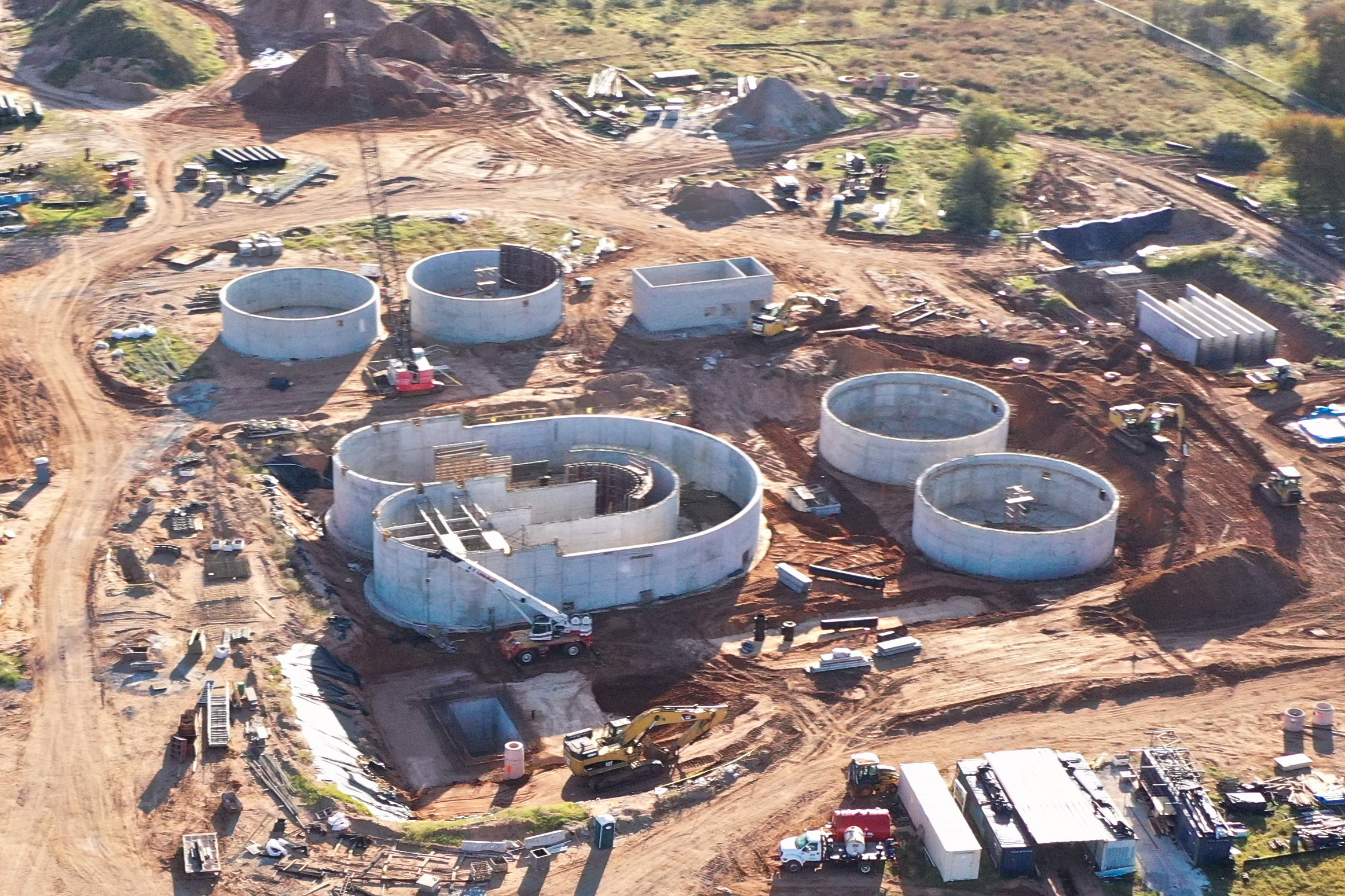
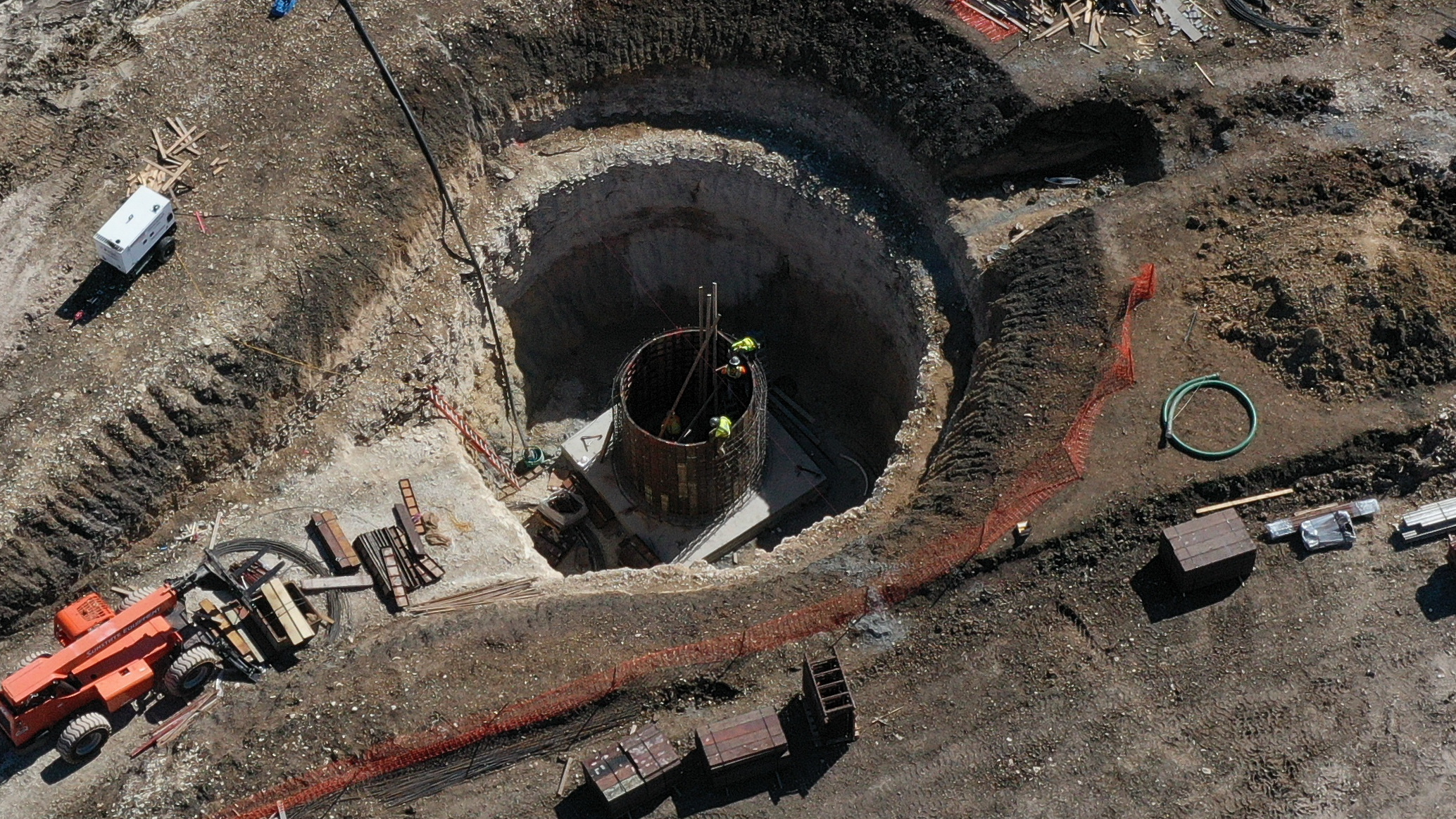
There’s no denying progression videos and photos are an invaluable asset when
communicating to key stakeholders on a project’s progression and timeline.
Progression aerial flyover videos and photos are a powerful way to see tangible
progress, be it weekly, biweekly or monthly. Additionally, aerial videos and
photos can provide a critical perspective for your site PM and other remote
personnel when evaluating work in progress. Utilizing waypoints and GPS
tracking, we will define a route and fly that route on an agreed upon recurring
interval, delivering high-definition video and/or photos
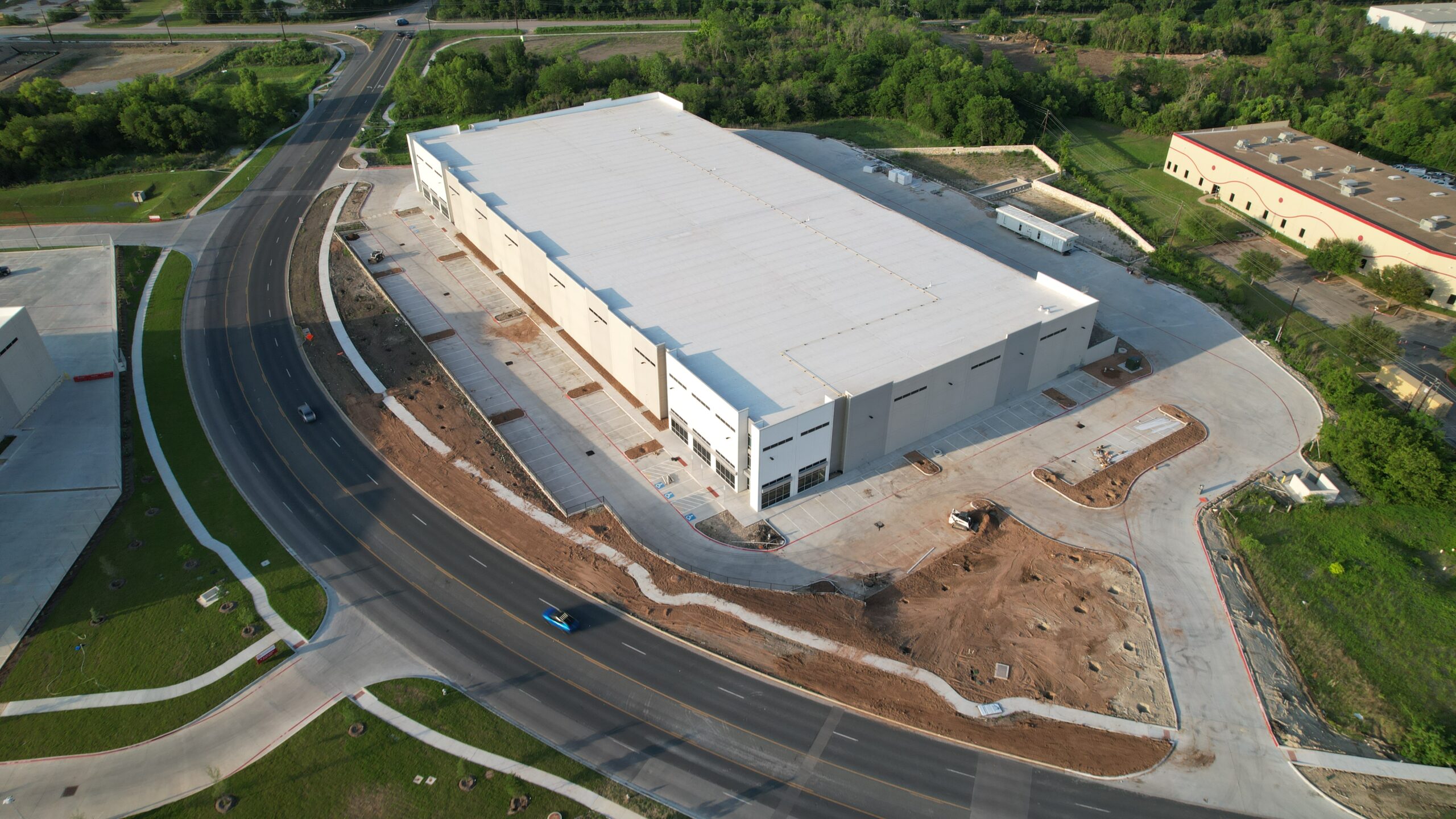
Turn heads and get clicks. High-resolution Aerial photography and video
provide stunning, unique perspectives that elevate real estate marketing
strategies, making properties stand out, leaving a lasting impression.
Supplementing traditional ground level photos and videos with amazing drone
footage shot in 4K HD will add some wow factor to your MSL listing and property’s
marketing strategy. Additionally, an aerial perspective provides the ability to
demonstrate a property’s value by highlighting property line extents, off-property
amenities as well as retailers and their proximity.
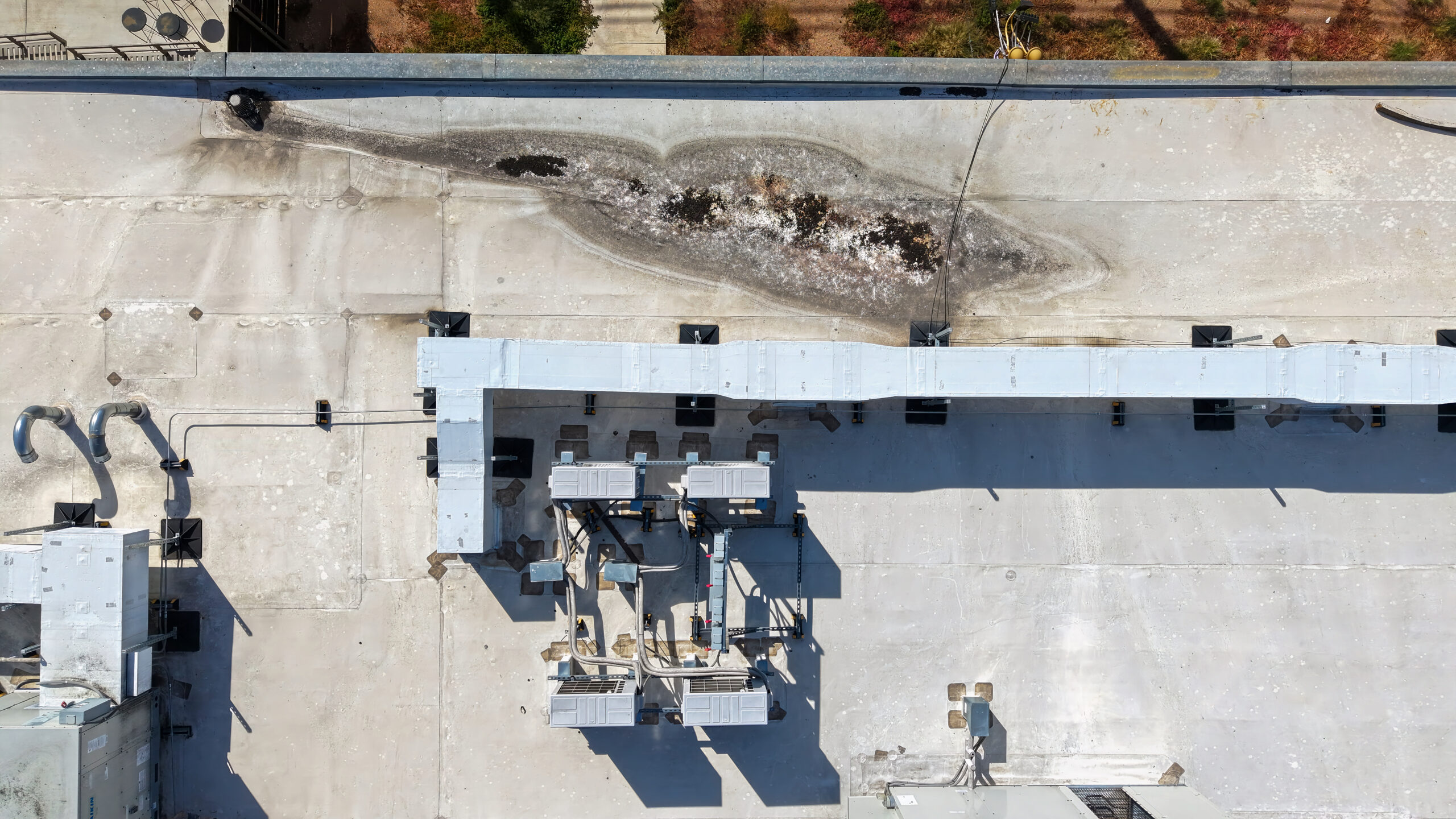
Our aerial photography and video services provide a tremendous benefit to the
home and commercial real estate inspection industry, eliminating the need for
ladders or scaffolding, saving time and reducing risks. A drone’s ability to get
high resolution photos and videos of areas otherwise not accessible or
challenging-to-reach, allows the inspector to provide a more thorough
inspection, potentially saving the buyer costly surprises post sale.
Where there is concern or evidence of damage due to weather or other event, our
drones will provide a quick and efficient means to assist in assessing the
damage to a structure or Infrastructure component, accelerating the discovery
and repair process. We understand that damage assessment is often time critical
and can offer same day imagery delivery!